I am a meteorologist and a former youth leader at church…I have a lot to say on both subjects…and then some
As you saw previously, in the weather category, I was live blogging the thunderstorms as they came through the region May22nd. Well, we have a better chance a severe weather on June 1st (tomorrow). I won’t be able to live blog it, since I will be working while it is occuring. So keep up with the weather at weather.gov/gaylord.
As you saw previously, in the weather category, I was live blogging the thunderstorms as they came through the region May22nd. Well, we have a better chance a severe weather on June 1st (tomorrow). I won’t be able to live blog it, since I will be working while it is occuring. So keep up with the weather at weather.gov/gaylord.
We took a power bump and knocked the computer off the net. Just got everything back up. Just a minor wind and some rain for us.
Statement as of 9:52 PM EDT on May 22, 2011
Severe Thunderstorm Warning
The National Weather Service in Gaylord has issued a
* Severe Thunderstorm Warning for…
This line is about to hit Boyne Falls and Petoskey. No warnings out for it so probably small hail if anything and some gusty wind. Keep a watch out.
Radar is a screen Capture from Weather Underground.
Looks like stuff is getting close, but…
A SEVERE THREAT COULD EVOLVE ACROSS NWRN PORTIONS OF LOWER MI THIS EVENING. IT IS NOT CLEAR WHETHER A WW IS WARRANTED AT THIS TIME DUE TO POTENTIAL LIMITING FACTORS. HOWEVER..AREA WILL CONTINUE TO BE MONITORED...AND ANY WW ISSUANCE WILL ULTIMATELY DEPEND ON CONVECTIVE TRENDS.
Keep watching.
Thunderstorms are crossing Lake Michigan. Right now, things don’t look severe. Keep watching the thunderstorms as they get close. No watch on the horizon, looking at the SPC site.
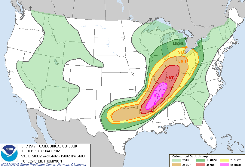
 The Severe Storm Prediction Center (SPC) has given us slight risk of severe storms overnight. Check out this link to the NWS Gaylord, MI Web Story.
Check out the Facebook page for some of the links. I’ll be watching the stuff and probably update via my Posterous.com site. I’ll see if I can tag it for this site and watch my Facebook or Twitter feeds for the links to it.